Floodplain Forest Experience Path - Facts about the Leipzig floodplain forest


- 0:57 h
- 3.97 km
- 4 m
- 4 m
- 99 m
- 101 m
- 2 m
- Start: Leipzig, floodplain forest station
- Destination: Leipzig, floodplain forest station
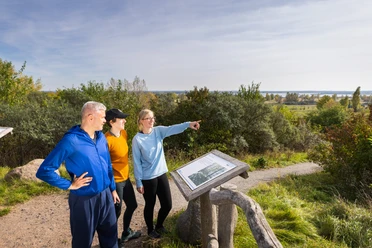
Children, teenagers, and adults can get to know the floodplain forest better thanks to an interactive Nature Trail app on smartphone or tablet. On circular routes, they can expect exciting audio contributions, images, videos, and animal sounds at 14 stations. Visitors reach the stations via GPS and by answering quiz questions.

Good to know
Pavements
- Unknown (49%)Asphalt (3%)Gravel (13%)Trail (6%)Path (29%)
Best to visit
- suitableDepends on weather
Directions
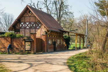
The starting point of the route is the Leipzig floodplain forest station Nature Park. Follow the course of the White Elster river, take the next left turn past the Hercules monument. Then cross the bridge over the course of the Neue Luppe, follow the ecumenical pilgrimage path. Continue to the next turn, then keep left. From there go straight ahead for quite a distance, then turn right at the next fork and follow the circular route. Then turn right twice and you are back on the familiar path to the starting point.
Tour information
Loop Road
Equipment
Sturdy footwear or sports shoes, smartphone or tablet with the Nature Trail app from the Leipzig floodplain forest station
Directions & Parking facilities
- Getting there
From Leipzig city center by car via Georg-Schumann-Straße towards Lützschena.
Public transportationTake tram line 11 or the S-Bahn (S3) to Lützschena. From there continue on foot to the starting point of the route.
Author
Verena Daser
Organization
LEIPZIG REGION
License (master data)
Verena Daser

Nearby

Download GPX file