Mulderadweg - Section Eilenburg to Bad Düben (United Mulde)


- 1:20 h
- 19.88 km
- 22 m
- 33 m
- 87 m
- 107 m
- 20 m
- Start: Mulde Bridge Ziegelstraße in Eilenburg
- Destination: Mulde Bridge B2 in Bad Düben
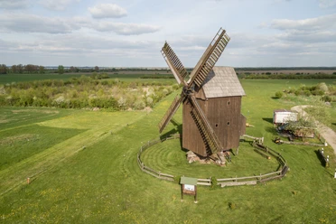
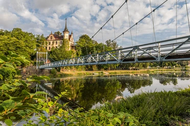
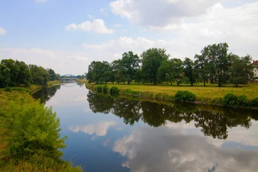
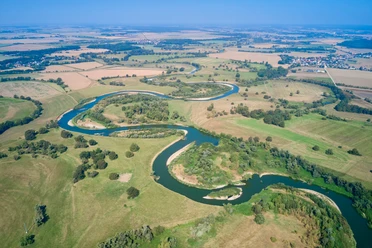
The strong meandering activity of the Mulde constantly changes the natural floodplain landscape between Eilenburg and Bad Düben. Wet meadows and numerous oxbow lakes serve as water bodies for humans and animals. Nature and bird protection areas provide insights into the rich flora and fauna. With some luck, even the native beaver can be spotted. The area around Bad Düben is dotted with mills of various constructions.

Waypoints
Good to know
Pavements
- Street (5%)Asphalt (72%)Gravel (15%)Trail (2%)Path (6%)
Best to visit
- suitableDepends on weather
Directions
The worthwhile Eilenburg center is located west of the Mulde. To continue on the Mulderadweg, we cross the Ziegelstraße, which leads over the Mulde. Then we turn left at the next traffic light into Ernst-Mey-Straße. We follow this to its end and then turn left onto Uferstraße. We pass the industrial area and at the end of the bike path switch to the paved path that branches off diagonally to the left. We follow the road straight ahead through the villages of Mensdorf and Mörtitz. In Gruna, we can rest at the ferry house. The friendly ferryman will take us to the other side of the river here – crossing is mandatory here. On the opposite bank, we turn right and at the end of the street in Hohenprießnitz turn left and immediately right again. In Oberglaucha, we turn right and then left at the end of the street. In Niederglaucha, we keep left again and turn north onto the B107 (Wellauner Straße), which we leave after 500 meters by turning diagonally right onto a wide gravel path. We continue along the path through the enchanting Mulde floodplain for about 3 kilometers and finally arrive at the gates of Bad Düben.
Tour information
Stop at an Inn
Equipment
Bicycle helmet, rain and sun protection, provisions and water, bicycle lighting at night.
Directions & Parking facilities
- Getting there
Accessible by car from Leipzig via the B87.
Parking- Parking lot at Eilenburg train station (free of charge)
- Parking lot at the zoo (free of charge)
Public transportationWell accessible from Leipzig by S-Bahn (S4).
From Bad Düben back to Eilenburg (starting point):
From Bad Düben (Mulde), Körbitzweg by bus 232 to Eilenburg, Dr.-Külz-Ring.
Additional information
Author
Christina Witt
Organization
LEIPZIG REGION
License (master data)
Christina Witt

Author´s Tip / Recommendation of the author
Service stations:
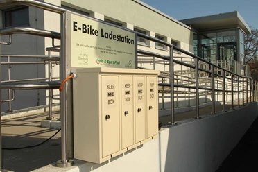
E-bike charging station Radhaus Eilenburg
Several bike service stations in Eilenburg (Fahrrad Hammer, Fahrrad Paul, Radladen Eilenburg)
Safety guidelines
The route runs along a short section of the federal road.