Geopark Porphyry Land

The boundaries of the Geopark roughly correspond to the area of the West Saxon Volcanic Complex, which covers an area of 2000 square kilometers and is one of the largest volcanic areas in Central Europe. Massive volcanic eruptions in the Rotliegend period around 300 million years ago left behind huge deposits of lava and pyroclastic clouds, which are now valuable raw materials (quartz and granite porphyries, porphyry tuffs, ignimbrites, etc.). During the Tertiary period, beginning 65 million years ago, with its warm and humid climate, the volcanic rocks weathered deeply. Today's kaolin deposits were formed. Areas of rock resistant to weathering now form the hilltops of this hilly landscape. During the Elster and Saale glacial periods, these volcanic rocks were significantly reshaped. The glaciers abraded the mountains and gave them a whaleback-like shape (rounded humps). The direction of advance of the ice masses during the Saale glacial period can be reconstructed from the shape. Visible glacial striations remained on the rock.
The evidence of Rotliegend volcanism and the traces of the Ice Age visible on the porphyry can be discovered as significant geotopes, some of which are of national importance, in the Porphyry Land Geopark.
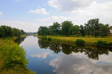
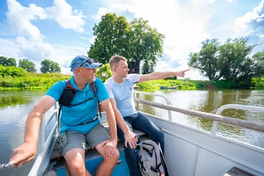
Due to its location in north-west and central Saxony, the geopark can be reached by car in less than an hour between Leipzig, Dresden and Chemnitz. It is ideal for hiking and cycling, but also for water sports. Cyclists can cycle within the Geopark along the Mulde, but also between the Mulde and Elbe, Mulde and Parthe and along the Zschopau. The signposted Mulde cycle path runs through the entire area from south to north and passes through numerous towns and past several geotopes. A section of the Jacob's Pilgrimage Trail and the Luther Trail Saxony run through the Geopark, which can be used on foot, as can the Mulde Valley Hiking Trail. Water hiking is possible in day sections on the fast Mulde, which was dammed for a long time for energy production, due to the many weirs and a deep nature experience on the hardly changed course of the river, which is completely protected as a European bird sanctuary.
Good to know
Hygiene and infection safety measures
Heed the hygiene instructions
Directions & Parking facilities
- By car: Follow the A14 to Wurzener Str./B107 in Grimma, take exit 31-Grimma on the A14. Follow Wurzener Str./B107, Wiesenstraße and Str. des Friedens to Leipziger Str.
By public transportation: Take the RB110 or bus line 690 to Grimma Bahnhof. Organization
Leipzig Tourismus und Marketing GmbH
License (master data)
Leipzig Tourismus und Marketing GmbH