Geopath Markkleeberger Lake - Störmthaler Lake


- 3:23 h
- 13.37 km
- 44 m
- 45 m
- 113 m
- 157 m
- 44 m
- Start: Markkleeberg, lake promenade
- Destination: Großpösna, Dreiskau-Muckern
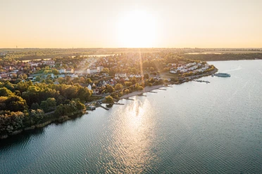
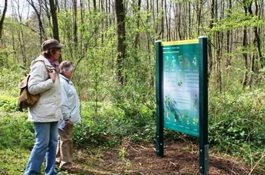
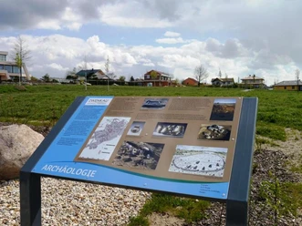
The Geopath mostly follows the east shore of Markkleeberger and Störmthaler Lakes. The steles along the route provide information on geology and mining, the technology park of the Espenhain open-cast mine, geological profile through the Quaternary, and a stone adventure playground.
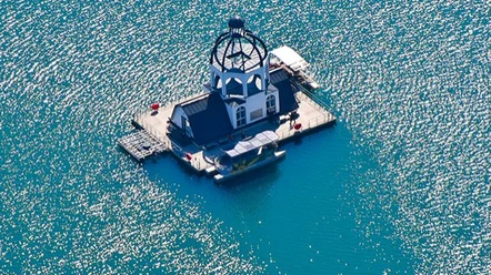
Stations: Markkleeberger See viewpoint - Auenhainer Beach - Markleeberg Canoe Park - Stone adventure playground - Canal bridge - Mining technology park - Canal exit Störmthaler See - Störmthal harbor - Magdeborner Peninsula - Vineta

Good to know
Pavements
- Unknown (1%)Asphalt (52%)Gravel (13%)Trail (21%)Path (13%)
Best to visit
- suitableDepends on weather
Directions
The Geo route starts at the lake promenade Markkleeberg East on the lower shore path and runs east. The path runs directly along the water past the Auenhainer Beach and the Markleeberg Canoe Park. Turn right onto the street "Zum Wildwasser" and follow the path. Cross the canal bridge of the Kleine Pleisse and follow the path along the water to the entrance of the mining technology park. Then return to the canal bridge, pass the stone adventure playground along the shore of the Störmthaler Lake. At the next fork, keep right to Pflaumenallee, then turn right again. Now you continue straight along the shore of Störmthaler Lake for a long time. Tip: Always keep along the shore of the lake so you cannot miss the way. The last stations are Störmthal harbor, Magdeborner Peninsula, and Vineta.
Tour information
Stop at an Inn
Equipment
Sturdy footwear or sports shoes, weatherproof clothing, provisions, and water.
Directions & Parking facilities
- Getting there
For drivers, Markkleeberg is easily accessible from all directions via the motorways A14, A9, and A38. There is also an excellent connection between Chemnitz and Leipzig thanks to the A72.
Through a total of three exits from federal road B2, the individual districts of Markkleeberg can be quickly reached.
Access to the lake promenade:
B2 to Markkleeberg exit, continue on Seenallee towards Markkleeberg East, turn right onto Bornaische Straße, at the turning main road (towards Wachau) the extended Bornaische Straße leads straight to Markkleeberger Lake.
ParkingThere are lake-adjacent parking spaces available at the lake promenade in Markkleeberg East.
Public transportationTram line 11 from Leipzig comes within 350 meters of the lake promenade in Markkleeberg East. Stop: Schillerplatz (Markkleeberg East), about a 5-minute walk along Bornaische Straße.
Or from Leipzig main station take the S4 towards Markkleeberg-Gaschwitz to Markkleeberg train station, then bus 106 towards Böhlen to Seepromenade Markkleeberg or to Störmthaler See Vineta.
Author
Leipzig Tourismus und Marketing GmbH
Organization
LEIPZIG REGION
License (master data)
Leipzig Tourismus und Marketing GmbH

Author´s Tip / Recommendation of the author
- Markleeberg Canoe Park
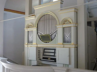
- Hildebrandt Organ in the Störmthal Kreuzkirche
- Kreuzbach Organ in the Auenkirche Markkleeberg East
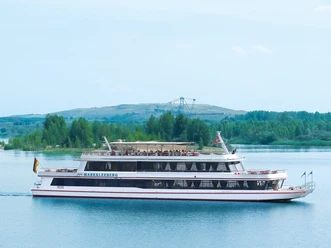
- Passenger shipping in the Leipzig New Lake District