Mulderadweg - section Rochlitz to Sermuth (Zwickauer Mulde)


- 1:15 h
- 16.63 km
- 41 m
- 73 m
- 136 m
- 175 m
- 39 m
- Start: Mulde bridge on Uferstraße in Rochlitz
- Destination: Confluence of the Zwickauer and Freiberger Mulde at Sermuth
The last section along the Zwickauer Mulde invites you, besides varied landscape, to cultural discoveries. At the end of the route, we are rewarded with the confluence of the two Mulde arms into the Vereinigte Mulde.
The route runs mostly on paved paths and little frequented roads. Due to the flat relief and length, this section is also very suitable for short day trips.

Good to know
Pavements
- Street (49%)Asphalt (43%)Gravel (6%)Path (1%)
Best to visit
- suitableDepends on weather
Directions
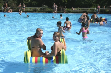
The starting point is the Mulde bridge on Uferstraße in Rochlitz, very close to the swimming pool. We turn onto the path below the bridge on the left side of the Mulde and ride north. Close along the shore, we follow the path for one kilometer, turn left and go through the small garden plots. Before reaching the federal road, we turn right onto Klinkbornweg. At the next fork, we take the asphalted ascending path to the left and follow it to the next T-junction. Here, we turn left, at the railway station square right, and immediately right again. After 400 meters, the street becomes a path, which we follow straight, under the tracks and over the Mulde, until we reach Penna. After entering the village, we turn left onto Am Ring street and follow its winding route straight through Kralapp and at the next priority road left towards Colditz. In Colditz, at the roundabout, we take the second exit straight and immediately turn left. We follow Schulstraße and turn right towards Untermarkt. We are now in the Colditz center with a view of the historic castle. Below the castle, we continue north and turn left at the fork. The street now leads us to Kleinsermuth, three kilometers away. We cross the main road straight and have the option, after 200 meters, to turn into the characteristic Muldenweg, at the end of which the confluence of the Zwickauer and Freiberger Mulde can be seen.
Tour information
Stop at an Inn
Equipment
Bicycle helmet, rain and sun protection, provisions and water, bicycle lighting in the dark.
Directions & Parking facilities
- Getting there
Arrival by car
From Leipzig
- via the A14: exit Grimma, then on the B107 via Colditz towards Rochlitz
- via the B2/B95, then via the A72 to the exit Rochlitz/Penig
From Dresden
- via the A14: exit Döbeln, then on the B175 via Harthaer Kreuz and Geringswalde to Rochlitz
- via the A4: exit Hainichen, then via Mittweida to Rochlitz
From Chemnitz
- on the B107 through the Chemnitz valley to Clausnitz, Königshain-Wiederau, Rochlitz (from the A4 - exit Chemnitz-Glösa) or to Taura and Burgstädt
- on the B95 to Penig (from the A4 - exit Chemnitz-North)
- on the A72 to exit Penig/Rochlitz
- from Glauchau on the B175 via Waldenburg to Penig/Lunzenau/Wechselburg/Rochlitz
ParkingRochlitz: at the Bleiche
Sermuth: at the Freiberger Mulden bridge
Public transportationBy train to Tanndorf, Großbothen, or Geithain.
From Leipzig main station with the S-Bahn line S6 to Geithain. Then by bus line 628, 629 to Rochlitz
Additional information
Connections:
- in Rochlitz: KoRoLa bike route
- in Colditz: Altenburg-Colditz bike route
- in Sermuth (Colditz): Mulderadweg (Vereinigte Mulde) & Mulderadweg (Freiberger Mulde)
Author
Christina Witt
Organization
LEIPZIG REGION
License (master data)
Christina Witt
Author´s Tip / Recommendation of the author
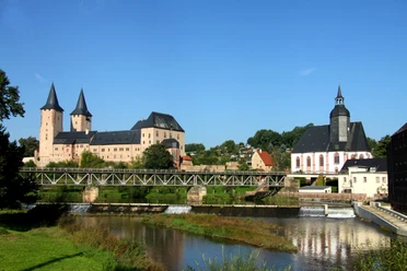
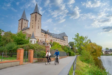
The route section also invites you to cultural highlights. A stopover at the two majestic castles Rochlitz and Colditz is worthwhile.