Mulderadweg - Zwickauer Mulde


- 11:50 h
- 157.99 km
- 822 m
- 1,455 m
- 136 m
- 784 m
- 648 m
- Start: Schöneck
- Destination: Sermuth
The route starts in Schöneck, the highest town in the Vogtland district. First, the path leads up to 784 meters above sea level, then winds down into the Auer basin. Along the entire section, there are repeated opportunities to enjoy a magnificent panoramic view over the Vogtland and Ore Mountains.
Well-developed roads make it easier to enjoy the section from Aue to Zwickau, which mostly leads through shady forests and is characterized by a constant up and down.
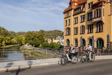
You can ride relaxed on the section between Zwickau and Glauchau. It runs straight through the Mulde floodplains, allowing you to absorb the passing landscape.
The penultimate stage is challenging again: Two climbs await the cyclist before the towns of Penig and Wechselburg, but the town centers reward the efforts all the more. We explore what the big pot in Penig is about and visit the Wechselburg Basilica. Along the way, we ride through fields and pass under the impressive Göhren viaduct.
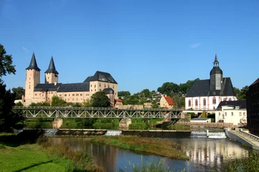
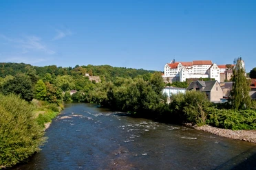
The last stretch to Sermuth leads on well-developed sections towards the Mulde confluence. Along the way, the castle in Rochlitz offers an excellent view over the Mulde valley. The internationally known Colditz castle is also definitely worth a detour.

Good to know
Pavements
- Street (29%)Asphalt (52%)Gravel (10%)Trail (7%)Path (2%)
Best to visit
- suitableDepends on weather
Directions
The route begins at the source of the Zwickauer Mulde in Schöneck, the highest town in the Vogtland district. The route passes through the Erzgebirge/Vogtland Nature Park at the Muldenberg reservoir over Eibenstock into the Auer basin area. Via Aue-Bad Schlema, the route mostly runs through shady forests to Zwickau and is characterized by a constant up and down. The path is mostly well paved and offers technically moderate challenges.
From Zwickau, the bike path runs through level Mulde floodplains to Glauchau.
The section between Glauchau and Rochlitz is characterized by two steep climbs near Penig and Wechselburg but is still very scenic. Through open fields under the impressive Göhren viaduct, it then continues to Colditz up to Sermuth.
Tour information
Stop at an Inn
Equipment
Bicycle helmet, rain and sun protection, provisions and water, bicycle lighting in the dark.
Directions & Parking facilities
- Getting there
By car from Leipzig via the A72 to Schöneck.
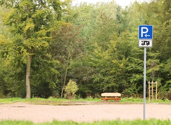
ParkingPublic parking Schöneck
Public transportationBy public transport from Leipzig main station via Zwickau main station to Schöneck.
From Sermuth back to Leipzig:
About 13 kilometers to Bad Lausick, then take the RB113 from Bad Lausick to Leipzig main station.
Additional information
Author
Christina Witt
Organization
LEIPZIG REGION
License (master data)
Christina Witt

Author´s Tip / Recommendation of the author
With the Muldeflyer you get discounted entry to 10 attractions!
Social Media