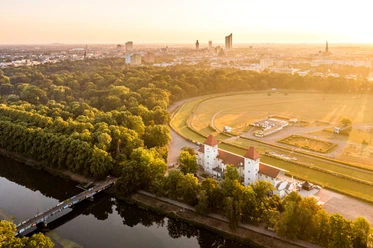
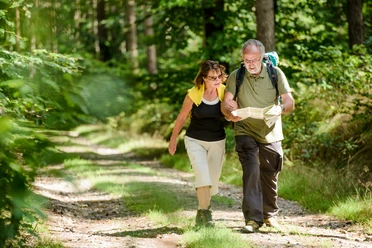
Muldental hiking route from Rochlitz to Sermuth (Colditz)


- 3:45 h
- 14.48 km
- 44 m
- 66 m
- 140 m
- 175 m
- 35 m
- Start: Rochlitz "An der Bleiche"
- Destination: Sermuth
This section of the regional hiking route from Rochlitz via Colditz to Sermuth mainly runs on the right side and mostly directly along the bank of the Zwickauer Mulde. On quiet roads, it passes through the small villages of Penna, Kralapp, and the Lastauer Mill through a rustic floodplain landscape. The route is mostly marked with the red cross stitch. In Sermuth, not only do the two river arms, Zwickauer and Freiberger Mulde, merge, but also the two parallel hiking paths. The hike can be continued along the route at the United Mulde.

Waypoints
Good to know
Pavements
- Street (57%)Asphalt (34%)Path (9%)
Best to visit
- suitableDepends on weather
Directions
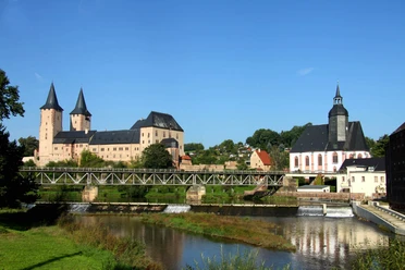
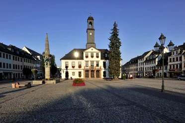
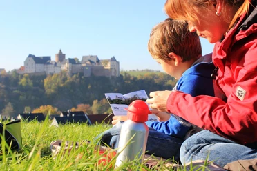
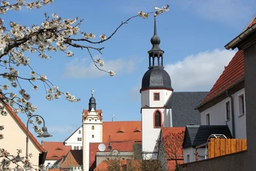
- The hiking path leads from the village of Rochlitz along the Zwickauer Mulde northwards. Along the way, the villages of Penna, Kralapp, and Colditz are passed. In Colditz, a pause should be taken to admire Colditz Castle. Finally, the path continues further north until the village of Sermuth is reached, where the Mulde confluence is located. From there, the hiking trail can be continued along the United Mulde.
Equipment
Good footwear, weatherproof clothing, provisions, drinks
Directions & Parking facilities
- Parking
Rochlitz: parking lot "An der Bleiche"
Sermuth: at the Freiberger Mulde bridge
Public transportation- Bus 629: Geithain-Glauchau (bus stop Rochlitz, Rathausstraße)
- Bus 619: Colditz-Grimma (bus stop Sermuth, Muldentalstraße)
- Bus 620: Colditz-Rochlitz (bus stop Rochlitz, Rathausstraße)
Author
Verena Daser
Organization
LEIPZIG REGION
Author´s Tip / Recommendation of the author
- Rochlitz Castle
- Colditz Heimatturm
- Colditz Castle
- Mulde confluence