Route 2 - Industrial architecture on the water


- 1:18 h
- 6.38 km
- 10 m
- 9 m
- 105 m
- 115 m
- 10 m
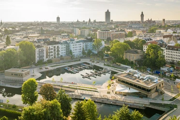
- Start: City Harbor
- Destination: Lindenauer Harbor
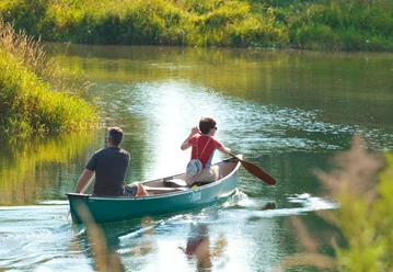
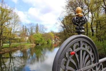
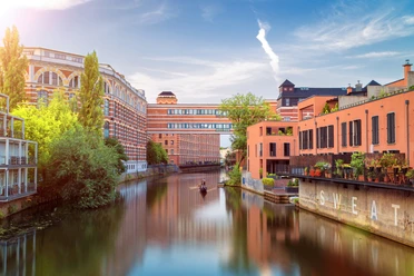
This beautiful route is a must not only for architecture lovers. The varied trail also offers shaded sections as well as culinary stops directly by the water. The city life of Leipzig and its charm cannot be captured better by any other canoe route than by this paddling route. The waterway is spanned by a total of 15 architecturally interesting bridges - no wonder Leipzig is also affectionately called Little Venice. Along the waterway, you can also see impressive factory buildings, Gründerzeit houses, loft apartments, and restaurants directly on the shore.

Good to know
Best to visit
- suitableDepends on weather
Directions
START: 0.0 km City Harbor Leipzig Boarding/disembarking at the pier, parking available.
0.8 km Mouth of the Elster flood channel Danger to life at the Palmengarten weir! Keep distance! Straight ahead into Stadtelster towards Klingerhainbrücke
1.3 km Pier Klingerweg Between Könneritzbrücke and Karlbrücke Industrial architecture, restored "Buntgarnwerke"
2.3 km Branch Karl-Heine Canal Turn right heading west. Beware of oncoming traffic, narrow spot!
2.9 km Pier District Park Plagwitz Barrier-free jetty. Please avoid paddling through the water lilies!
4.8 km Pier Kanal 28
FINISH: 6.0 km Lindenauer Harbor The portage from Lindenauer Harbor to the Elster-Saale Canal (approx. 150 m) should be done using a boat trolley.
With the completion of the water connection to Lindenauer Harbor, the harbor area was connected to the water network of the Leipzig New Lake District. To the end of the Saale-Elster Canal at Zschöchergen in Saxony-Anhalt is about 11 km.
Tour information
Stop at an Inn
Equipment
Waterproof transport bag, rain and sun protection, provisions, and water.
Life jackets are available at every canoe rental.
Don't forget small change for an ice cream or a cool drink in between.
Directions & Parking facilities
- Getting there
Motorway connections:
A9 (Berlin–Munich) – approx. 13 km
A14 (Magdeburg–Dresden) – approx. 12 km
A38 (Göttingen–Leipzig) – approx. 11 km
ParkingParking lot at the city harbor
Public transportationTram stops:
Westplatz (lines 1, 2, 8, 14) – approx. 300 m away
Waldplatz (lines 3, 4, 7, 15) – approx. 350 m away
Train stations:
Main station Leipzig – approx. 1.5 km away
Market (S-Bahn station) – approx. 1.2 km away
Additional information
Difficulty level: easy
Length: approx. 6.6 km
Locks: none
Portage: not necessary between Lindenauer Harbor and City Harbor
Navigability: upstream and downstream
Simply ask the canoe rental for a small map or pick up the water brochure at the tourist information.
Author
Franziska Tiedtke
Organization
LEIPZIG REGION
License (master data)
Franziska Tiedtke

Author´s Tip / Recommendation of the author
Right next to Könneritzbrücke is Leipzig's most famous flower balcony. So keep your eyes open!
Safety guidelines
Safe and proper navigation on the waters: Hints for water hiking
The portage from Lindenauer Harbor to the Saale-Elster Canal (approx. 150 m) should be done using a boat trolley.